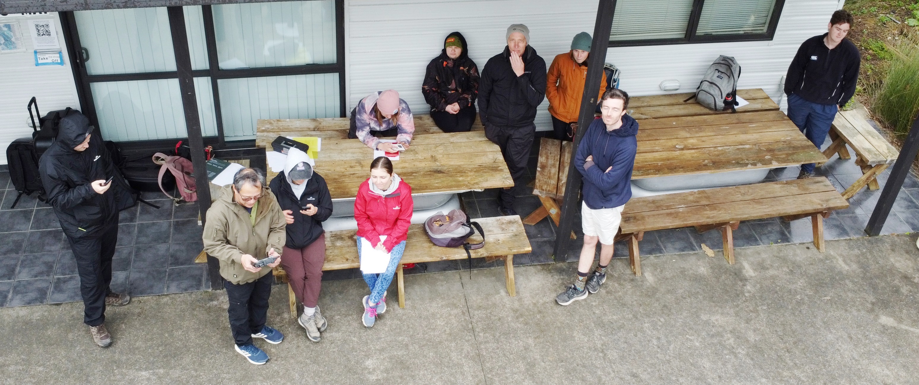
On 18 August, Unitec Associate Professor Dr Glen Aguilar once again brought a group of students pursuing a Bachelor of Applied Sciences–Biodiversity Management degree with the School of Environmental and Animal Sciences to do some field work for the Applied GIS paper. Also joining the Unitec group were students from NorthTec.
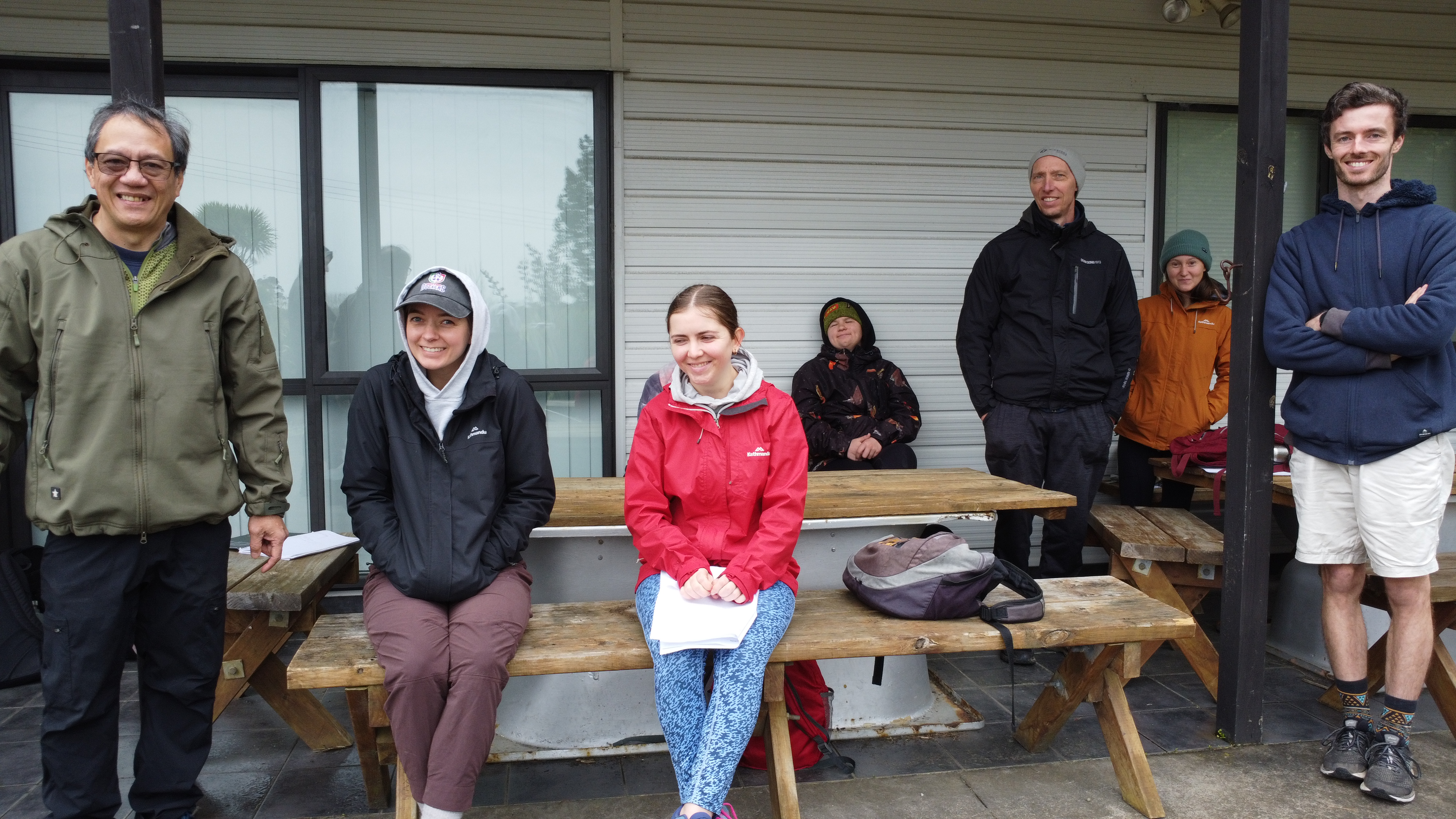
The field trip exercises included GIS data collection on native species with the students designing their own survey objectives, targets and attributes for a field survey using smartphones. The session included demonstrations of different drones for mapping a target area through collecting imagery or photos for image processing.
Unfortunately, the weather didn’t cooperate and wind and rain prevented longer flying sessions but the group of 11 wase still able to do 3 drone flights flown which provided the imagery required for producing highly detailed 2D and 3D models for spatial analysis, visualisation and other spatial processes.
As always, the visit was mutually beneficial. During the visit the students were able to gain field experience with recent and rapid developments in collecting biodiversity data and in doing this gathering of geospatial data, the status of important species and the ongoing change at CUE Haven can be monitored regularly by future students who will conduct similar field collection and drone flying exercises in future. This will contribute to the documentation of the wonderful progress that CUE Haven has made to ecological restoration in the area and provide a highly intuitive visualisation of the landscape.
We wish the students all the best with their continuing studies and future endeavours.
And a big thank you to Glenn for arranging the visit—looking forward to having you back soon with more students!

One response to “Unitec Environmental GIS Students”
Wow – great technology!! What a great opportunity to build such an important data base!!